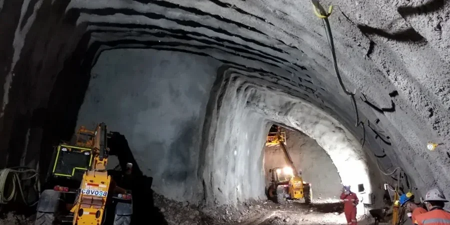
The geotechnical contrast between Lower Lonsdale’s waterfront marine clays and the stiffer glacial till underlying the Lynn Valley bench is stark—and it defines every tunnel drive in North Vancouver. Near the Shipyards, saturated, normally consolidated silts demand continuous face support and rigorous pore-pressure management, while a few kilometers inland the overconsolidated deposits present a completely different set of excavation challenges. Designing a soft-ground tunnel in North Vancouver means reconciling these abrupt transitions within a single alignment, often beneath steep terrain that receives over 2,500 mm of annual precipitation feeding perched groundwater. We routinely integrate CPT testing to map the clay–till interface with sub-meter accuracy and pair it with seismic refraction surveys to identify bedrock depth variations that can’t be inferred from surface mapping alone, building a ground model that drives every decision from TBM selection to segmental lining design.
Predicting face stability in North Vancouver’s marine clays isn’t about textbook formulas—it’s about understanding how a hundred years of urban loading has altered the pre-consolidation pressure profile.
Frequently asked questions
What is the typical cost range for a geotechnical investigation supporting soft ground tunnel design in North Vancouver?
Investigation programs for soft ground tunnels in North Vancouver typically range from CA$5,830 for a targeted supplementary study to CA$23,380 for a comprehensive baseline investigation covering a full alignment. The final cost depends on access constraints, depth to tunnel horizon, number of boreholes and CPT soundings required, and the laboratory testing suite specified by the design team.
How do you handle the transition zones between marine clay and glacial till in the ground model?
Transition zones are characterized through closely spaced CPT soundings at 10–20 m intervals, supplemented with continuous sampling across the contact. We map the clay–till interface in three dimensions using kriging interpolation and explicitly model the stiffness contrast in the numerical analysis, often refining the mesh locally to capture stress redistribution at the transition.
Which constitutive soil models do you apply for North Vancouver’s soft clays?
We typically use the Hardening Soil model with small-strain stiffness overlay (HSsmall) for the marine clay units, calibrated to bender element and local strain triaxial data. For the overconsolidated till, a Mohr-Coulomb model with tension cut-off often proves adequate, though we validate against pressuremeter test results to confirm the stiffness degradation curve.
What settlement monitoring frequency do you recommend during tunnel drives under Lonsdale Avenue?
For drives beneath Lonsdale Avenue and other sensitive urban corridors in North Vancouver, we specify automated monitoring at 15-minute intervals during active excavation within a 50 m radius of the instrumented section, reducing to hourly readings when the face has advanced beyond that zone. Manual optical surveys provide a daily independent check against the automated system.