← Home · Geophysics

MASW Shear Wave Velocity Testing in North Vancouver

Together, we solve the challenges of tomorrow.

LEARN MORE →

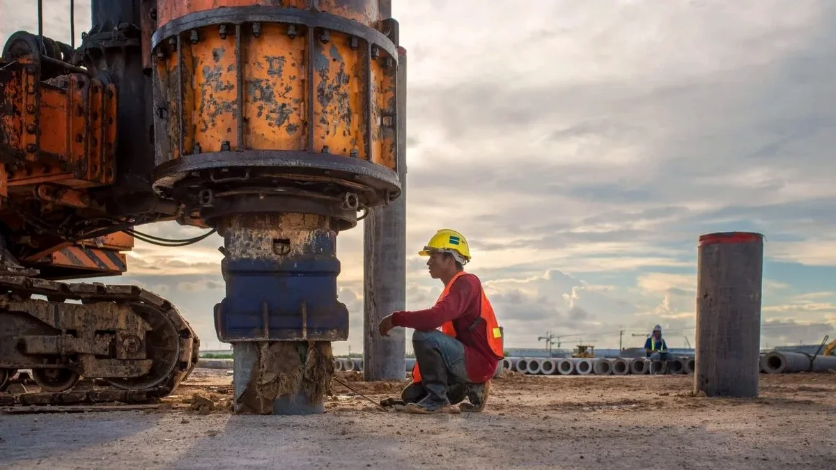
A new three-storey mixed-use project on Lonsdale Avenue hit a snag last fall. The geotechnical boreholes showed competent till. But the seismic site classification came back unknown. That triggered a higher design base shear under the 2020 National Building Code. The structural engineer needed a Vs30 value. Our crew deployed a 24-channel MASW spread on the parking area. Within three hours we delivered a shear wave velocity profile to 30 metres. The site class shifted from default Class D to Class C. The lateral load demand dropped 20 percent. That single survey saved the owner tens of thousands in structural steel. North Vancouver sits on complex glacial and marine sediments. Assumptions are expensive here. A seismic refraction survey complements MASW when bedrock depth is shallow and you need a two-method cross-check.

One MASW survey can shift your site class from D to C and cut lateral design forces by up to 30%.

Process and scope

The 2020 NBCC mandates site-specific shear wave velocity data for Seismic Site Classification. North Vancouver's variable geology makes this non-negotiable. Glacial till, Capilano sediments, and bedrock outcrops can all appear on one lot. MASW uses surface waves to derive a 1D Vs profile without drilling. We lay out 24 geophones in a linear array. A sledgehammer source generates Rayleigh waves. The inversion software extracts the fundamental-mode dispersion curve. Processing follows ASTM D7400 guidelines. The output is a clean Vs30 value and a layered velocity model. This data feeds directly into the structural engineer's seismic analysis. The method works on paved surfaces and compacted gravel. No heavy rigs. No traffic disruption. Results are ready within 48 hours.
MASW Shear Wave Velocity Testing in North Vancouver
Technical reference image — North Vancouver

Local considerations

A common mistake is running only boreholes and guessing the site class from SPT N-values. The NBCC allows this for Class D or E defaults. But North Vancouver's dense till often qualifies as Class C. Guessing Class D means the structural design carries extra seismic force. That adds steel, concrete, and cost. Worse, some consultants assume Class C without a Vs30 measurement. The building department can reject the permit. We have seen projects delayed six weeks while the team scrambles for a MASW crew. The fix is simple. Order the survey during the geotechnical investigation phase. The cost is a fraction of the structural overdesign penalty. In the District of North Vancouver, a Vs30 measurement is now standard practice for any multi-storey building.

Need a geotechnical assessment?

Reply within 24h.

Email: info@geotechnicalengineering.vip

Technical data

ParameterTypical value
Survey depth range30-50 m typical
Vs30 accuracy±10% per ASTM D7400
Array length46-69 m (24 ch)
Source typeSledgehammer or weight drop
Data formatSEG-2, CSV, PDF report
Site classes resolvedA through E per NBCC 2020
Crew size2 technicians

Complementary services

01

MASW Surface Survey

24-channel active-source array. Delivers Vs30 and 1D velocity profile. Ideal for paved lots and level ground.

02

Combined SPT-Vs Correlation

Pair borehole SPT data with MASW. Develop site-specific N-value to Vs correlations for the Capilano sediment basin.

03

Seismic Site Class Report

NBCC-compliant classification letter signed by a professional geophysicist. Ready for building permit submission.

04

Rapid Rezoning Surveys

Half-day MASW deployment for rezoning applications. We handle the District of North Vancouver and City of North Vancouver requirements.

Applicable standards

NBCC 2020 (National Building Code of Canada), ASTM D7400-19 (MASW and SASW methods), CSA A23.3 (Concrete structures seismic), BCBC 2024 (British Columbia Building Code)

Frequently asked questions

How much does a MASW survey cost in North Vancouver?

Active-source MASW surveys in North Vancouver range from CA$2,160 to CA$4,590 depending on array length, site access, and number of spreads. A single 24-channel spread for a standard lot is at the lower end. Two or three spreads with longer offsets push toward the upper range. We provide a fixed-price quote after reviewing the site plan.

Does the NBCC require MASW for all buildings?

The 2020 NBCC strongly encourages site-specific Vs30 measurement for any structure assigned Importance Category Normal or higher. You can default to Class D or E from borehole data, but that usually increases design loads. A measured Vs30 often pays for itself in structural savings.

Can you do MASW on a sloped site?

Yes, with adjustments. Gentle slopes under 10 degrees work well with a standard linear array. Steeper sites require a contour-following spread and topographic correction in processing. We have surveyed steep lots in the Upper Lonsdale and Deep Cove areas.

How long does a MASW survey take on site?

Field work for one 24-channel spread takes about two hours. This includes equipment layout, calibration shots, and data quality checks. A full report with Vs30 and site class letter is delivered within two business days.

What's the difference between MASW and seismic refraction for Vs30?

MASW uses surface waves and works well on paved or flat ground without needing a velocity contrast at depth. Seismic refraction requires a velocity increase with depth to interpret. In North Vancouver's glacial till over bedrock, both methods work. We often recommend MASW because it is faster and needs less space.

Location and service area

We serve projects in North Vancouver and surrounding areas.

View larger map